Naše usluge
Precizno kartiranje i rješenja za prostorne podatke prilagođena vašim potrebama.
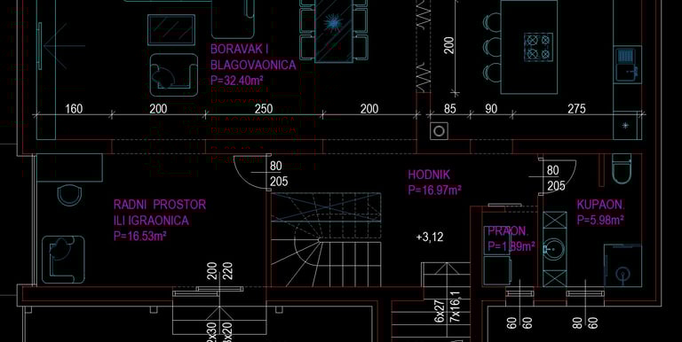
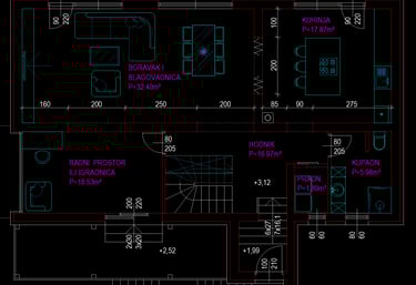
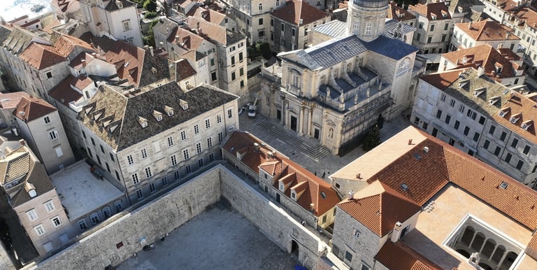
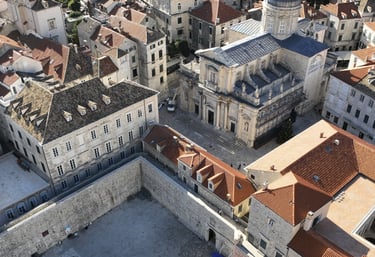
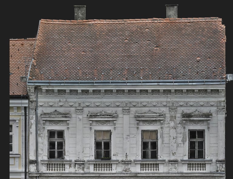
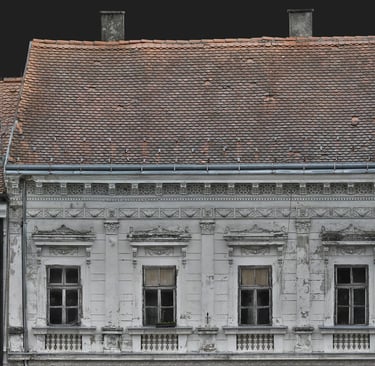
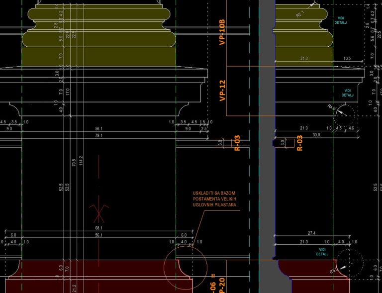
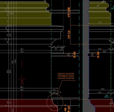
Arhitektonsko snimanje i nacrti
Precizno snimamo prostor i pretvaramo ga u pouzdane arhitektonske nacrte.
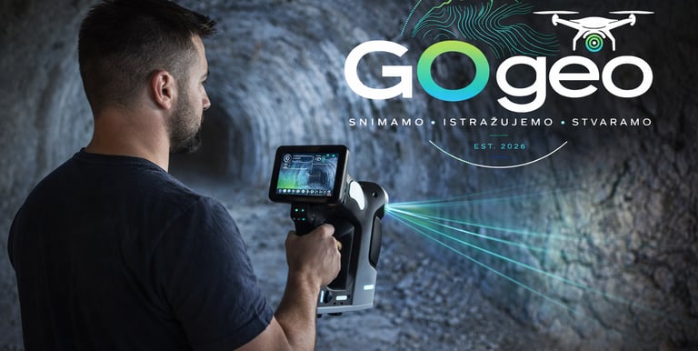
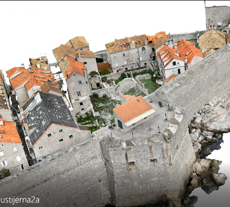
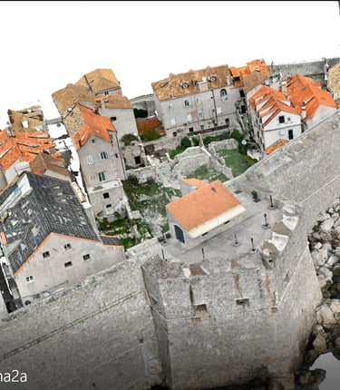
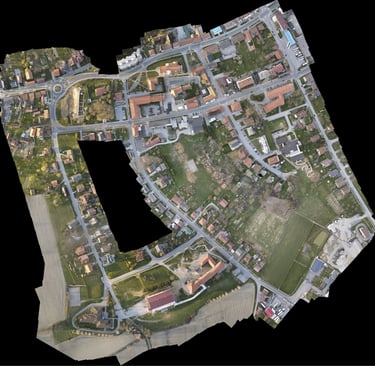
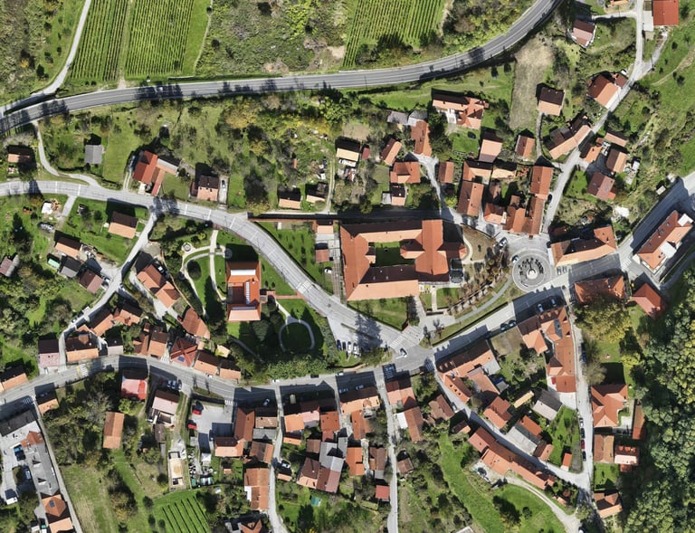
3D skeniranje i snimke postojećeg stanja
Naprednim 3D skeniranjem pretvaramo stvarnost u precizan digitalni model. Snimamo stvarno stanje i pretvaramo ga u podatke spremne za analizu i projektiranje.
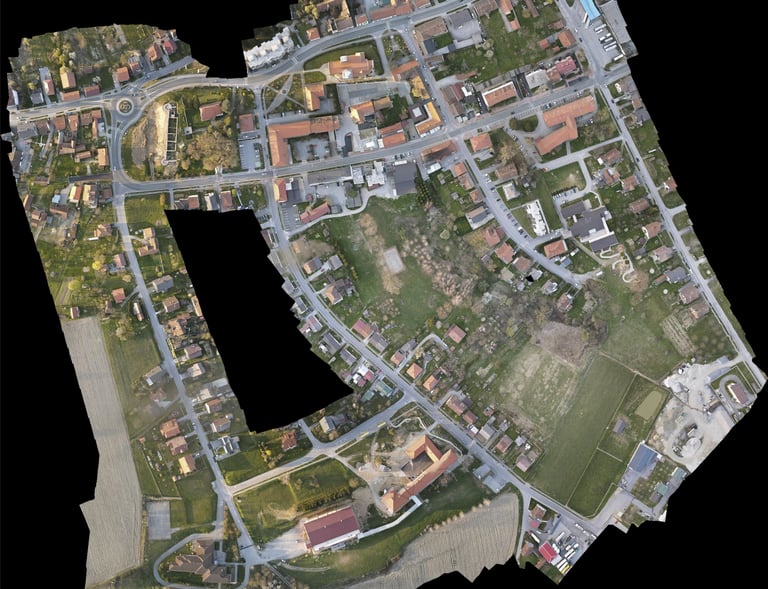
Snimanja
Precizna terenska snimanja koja pružaju pouzdane prostorne podatke i nacrte. Kombiniramo totalnu stanicu i dron za vrhunsku točnost i detaljnu dokumentaciju.
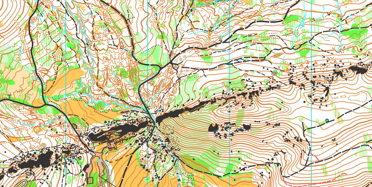
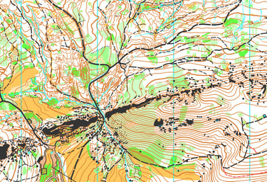
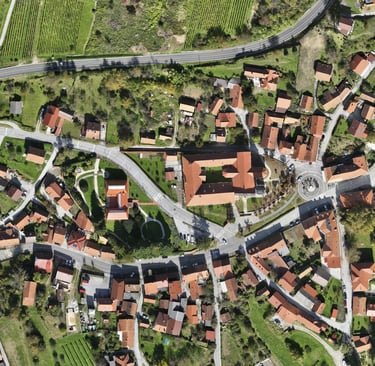
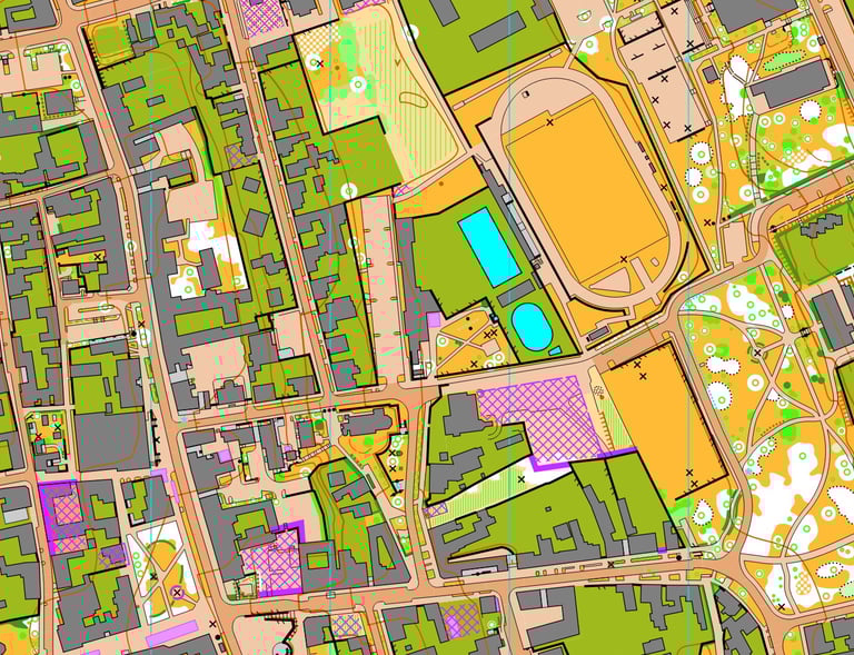
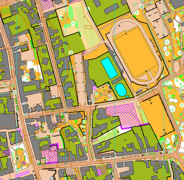
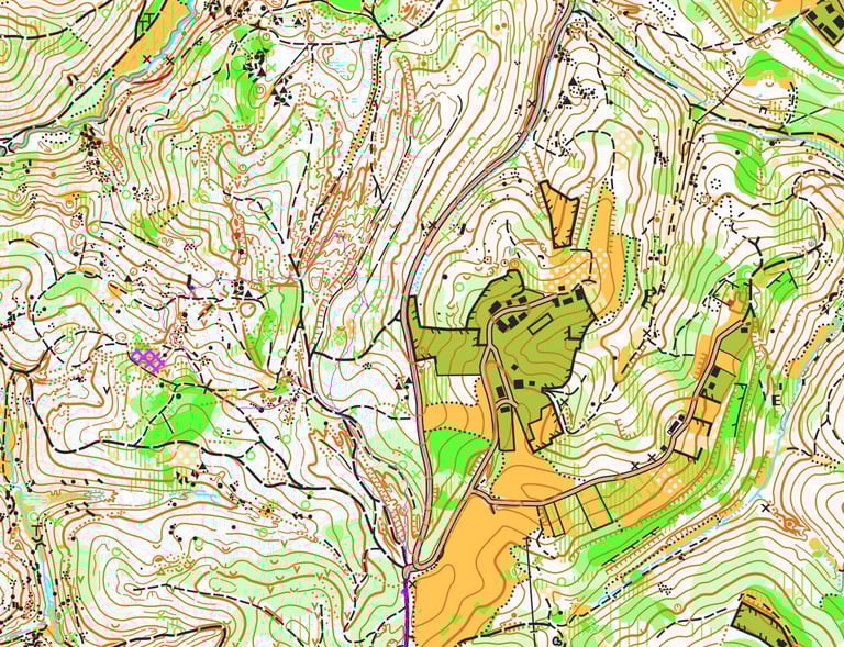
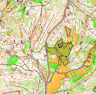
Kartografija
Kreiramo jasne i precizne karte za sport, turizam i planiranje korištenja zemljišta.
Preciznost je za nas bitna
U GOgeo pretvaramo složene prostorne podatke u jasne i korisne karte, nacrte i modele koji vam pomažu da svijet vidite na drugačiji način.
3D animacije
Galerija
Preciznost u prostoru kroz naš rad
Kontakt
Kontaktirajte nas za precizna arhitektonska i geoinformacijska rješenja ili sportske programe.
+385 98 742094
© 2026. Sva prava pridržana